On my final day of 49-ness, 3rd May 2023, I decided to head up across the Crinkles and Bowfell. It's a classic Lakeland ridge walk that lends itself to a full day out. The route clocks in at 20km with 1520m of ascent, and it took me a shade under 10 hours from campsite to the Climber's Bar at the Old Dungeon Ghyll. Route finding is easy, but there's a lot of picking your way between rocks and boulders, which can make for some slow going.
A 20km circular route, starting from Great Langdale. (Wainwright Book 4: The Southern Fells)
Seeing as it was my birthday, I treated myself to a 'Pod' at the Great Langdale National Trust Campsite. It's a great location, close to the Old Dungeon Ghyll hotel, and with the Sticklebarn Cafe within easy reach. On site there's a small shop which serves breakfast snacks, from bacon rolls to vegan sausages! I'd forgotten my hand-sanitiser, and the shop stocks all these simple basics.
At the time of writing, small tent pitches are £16, camper-van pitches are £20, and the small pod that I stayed in was £62. (Note they have a two-night minimum stay.) It felt like a mild extravagance, but you're only 50 once, and they have heating and a plug for your kettle!
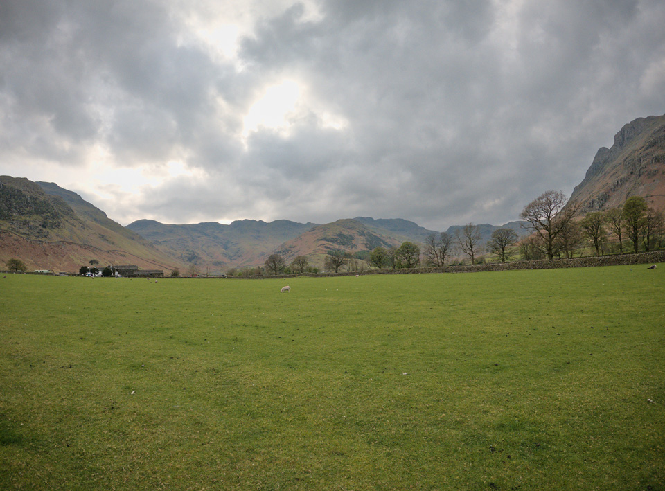 From the National Trust campsite, looking towards Crinkle Crags.
Positioned at the head of Great Langdale, the views are spectacular in every direction. Langdale has no lake and instead you find that flat, grassy farmland is hemmed in on all sides. Pike o' Blisco and Crinkle Crags stand to the south-west, Bowfell and Rossett Pike mark the head of the valley, and the Langdale Pikes are to the north.
Map
The GPX below is taken from the track recorded by my Garmin. The paths are heavily zig-zagged, so if you want accuracy you should add at least 2km to this simplified route.
Route Description
From the National Trust campsite, the route begins and ends on tarmac. Follow the road past Wall End farm and begin the steep climb up Side Gates Road. After about 1km, the road steepens and you reach a sequence of two or three distinctive hairpin bends. The path is unmistakable, leaving the road and keeping you to the west of Redacre Gill.
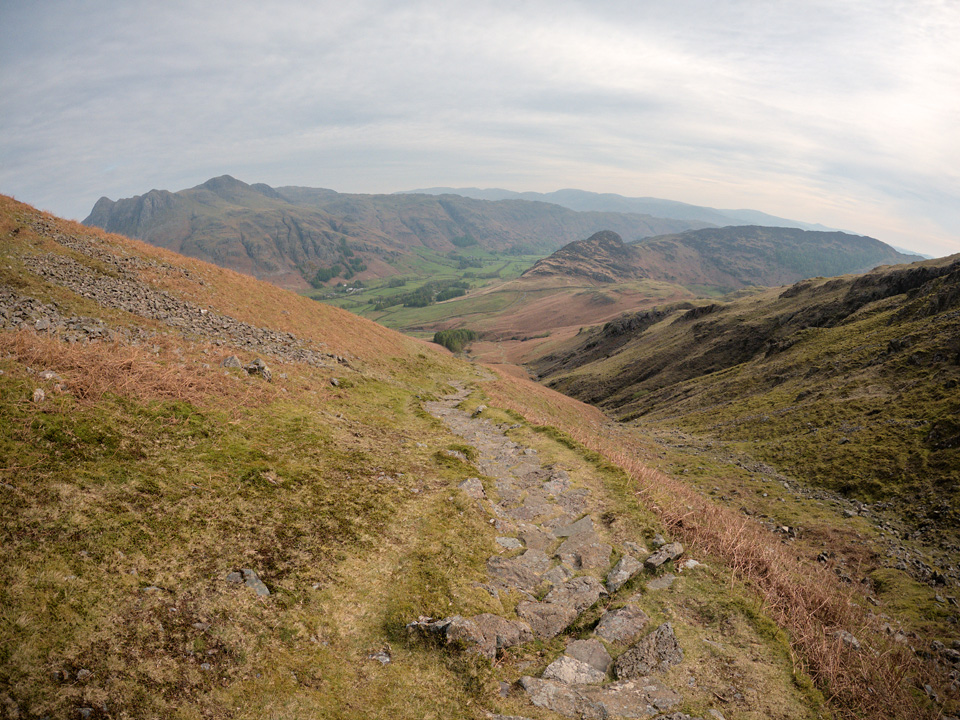 The long climb from Great Langdale to Wrynose Fell.
It's a steep climb, but the path is an epic demonstration of Fix The Fells engineering. The Great Langdale valley floor lies at around 100m, and this first part of the route takes you to the Pike o' Blisco summit at 705m. The distance covered is almost exactly 3km.
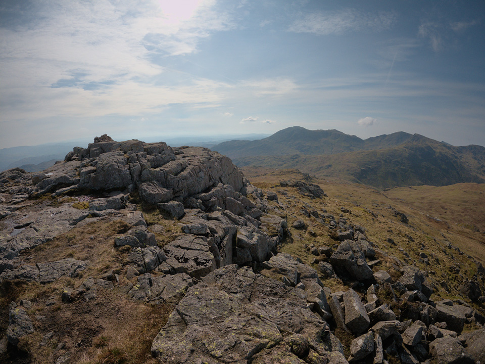 View from the summit of Pike o' Blisco, looking towards Wetherlam.
The path levels out at Wrynose Fell before the opportunity of some short and easy scrambles to the summit. These can be avoided to the south - but where would be the fun in that! There's nothing too adventurous, just a few rocky steps.
"This peak has great character, for shapeliness and a sturdy strength combine well in its appearance, and that splendid cairn etched against the sky is at once an invitation and a challenge..."
From the Pike o' Blisco summit the path follows a steep descent westwards to around the 520m contour. Keep Red Tarn to your left (south) and follow the path in the direction of Great Knott. You could carry straight on towards Crinkle Crags, but Cold Pike is another Wainwright less than half a kilometre away. The tracks here become far less obvious, but about 100m before you'd cross Browney Gill you find the ground starts to level out and there's a feint offshoot to the path heading south. It becomes more obvious as you get closer to the summit.
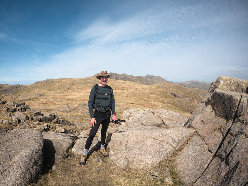 At the summit of Cold Pike, with Crinkle Crags and Bowfell in the Background.
"Cold Pike is a Crinkle Crags in miniature."
After a grassy climb to Cold Pike it becomes rocky near the summit. The views are excellent and there are plenty of sheltered spots if you want to stop for a snack.
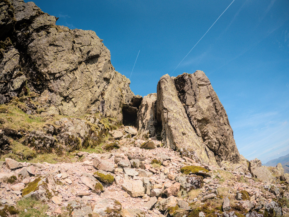 The 'bad step' on Long Top, the highest point of Crinkle Crags.
Crinkle Crags is really a series of mini-summits, all nice and craggy, forming what Wainwright called the best ridge-mile in all of Lakeland.
"These undulations, seemingly trivial from a distance, are revealed at close range as steep buttresses and gullies above wild declivities, a scene of desolation and rugged grandeur equalled by few others in the district."
From the col above Mickle Door, the ascent to Long Top via the Bad Step looks quite alarming! Rest assured, once you're into the gully there's an easy, if slightly polished, scramble up the right-hand wall.
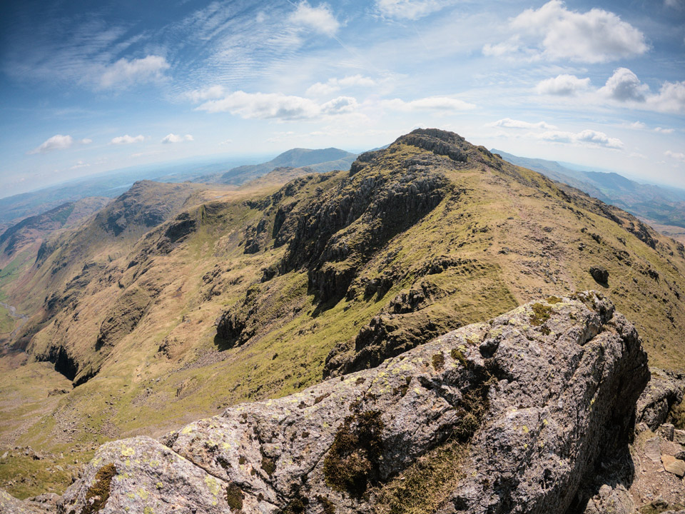 Above the 'bad step' looking back along the Crinkles towards Pike o' Blisco.
"This ridge is a fell-walkers' delight. A constantly changing scene, beautiful and dramatic views, fine situations and an interesting course throughout make this a walk to remember."
There are some great views from above the Bad Step, but do remember it's a bit of a drop-off from that edge! Once you're over the step, it's an easy walk to the summit. Long Top represents the highest point of Crinkle Crags, at 859m.
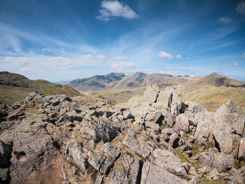 The Scafell range seen from the summit of Crinkle Crags.
The summits along Crinkle Crags, and Bowfell too, possess an otherworldly appearance, spread with fields of shattered rock. Impressive, and very photogenic, but allow time on your journey for rock-hopping while you try to relocate some semblance of an actual footpath.
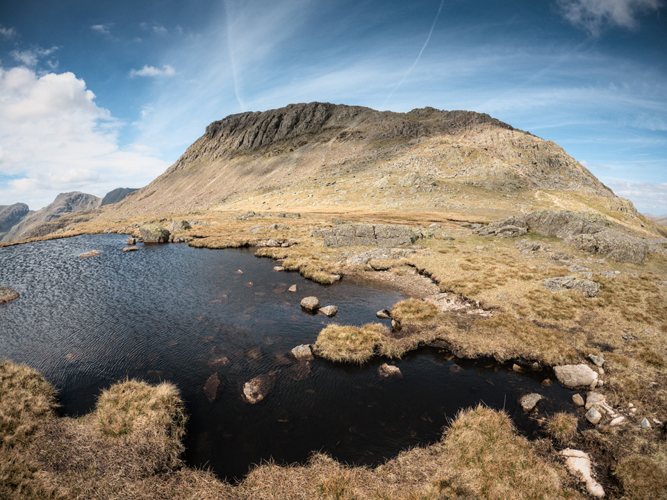 The southerly face of Bowfell, seen from the col at Three Tarns.
The north eastern side of Bowfell is the better known side, with spectacular views to Cambridge Crag and Bowfell Butress, along with the Great Slab. But, Bowfell Links (the southerly crag seen above) does feature several climbs and mid-grade scrambles. Pinnacle Rib is a 70m grade-1 scramble that gets a 'star' on UK Climbing... I'll check that one out for next time.
"[Bowfell] has the rare characteristic of displaying a graceful outline and a sturdy shapeliness from all sides."
From Three Tarns I wanted to join the Climber's Traverse to the east of Bowfell. In a typical approach, this route branches from the track that follows The Band from Stool End in Oxendale, but to join that usual path would mean losing around 150m in height. Instead, my plan was to descend what Wainwright called "The Direct Route", but it's not particularly well marked.
My GPX file above does show it exactly, but the summary is that you follow the main Bowfell path to the 800m contour, approximately level with the Bowfell Links crags. Then turn right (eastwards) and you'll see a distinctive, curving flat slab of rock. You'll have already passed a similar smaller feature about 50m back down the path. There are one or two small cairns as you work your way around, but there's a natural curve to the route, and it leads you easily onto the Climber's Traverse. You only lose about 20m in height.
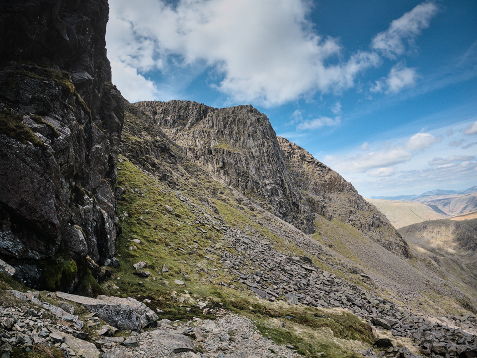 Looking north-west along the Climber's Traverse towards Bowfell Buttress.
"The climber's traverse is a very enjoyable high-level route leading to excellent rock scenery."
The Climber's Traverse is a superb approach to Bowfell, so it's well worth the short detour. Notable landmarks from this approach are Flat Crags, Cambridge Crags, and ahead of you will be Bowfell Butress.
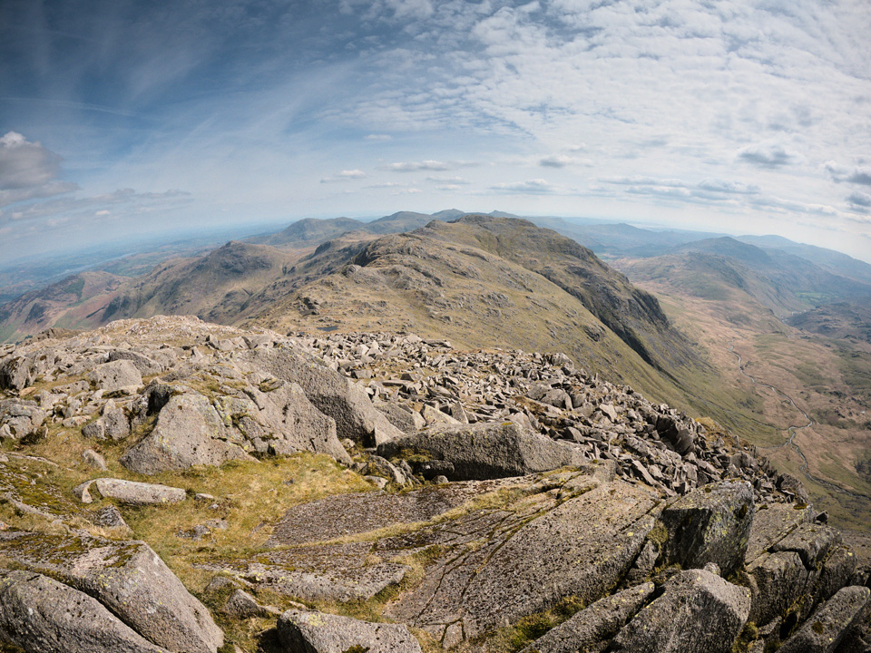 From the summit of Bowfell, looking towards Crinkle Crags.
The climb to the summit is easy, but slow at times. The path alongside the Great Slab is loose rock and you need to tread carefully to avoid sending stones rolling down the path below. But, once you reach the top of the slab, the path becomes an easy walk to the summit. It was blowing a gale by this point, but there's plenty of sheltered spots for a cup of tea!
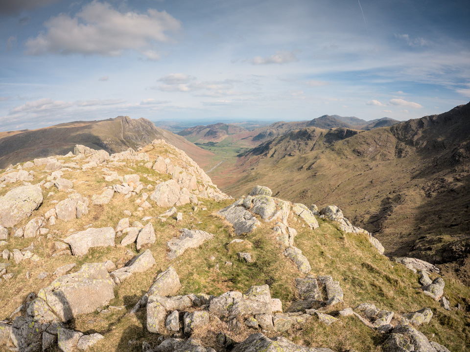 Great Langdale seen from the summit of Rossett Pike.
"[The view] excels in an impressive aerial scene of Mickleden and in the intimate detail of Bowfell's northern cliffs, the great sloping slab of Flat Crags, unique in the district, appearing as a striking feature."
Rossett Pike is one of those summits that looks insurmountable from the valley floor. The approach from Angle Tarn offers an easy walk along it's western shoulder to the summit.
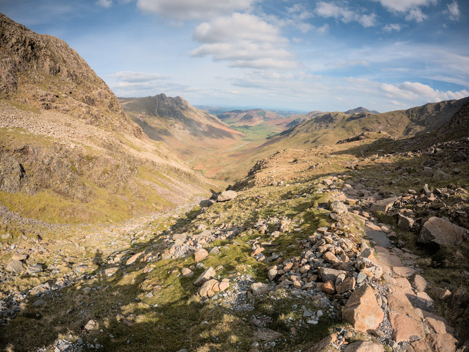 The steep and rocky descent from the col below Rossett Pike.
Steepness is something of a theme in this route! It felt like a long trudge to the valley where you join up with some easy walking along the Cleveland Way. Once again though, the path maintenance is excellent, with well-set rocky steps all the way. Once you reach the wooden footbridge at Mickleden Beck, rest assured you have a flat and easy walk straight to the Climber's Bar at the Old Dungeon Ghyll.
I do like to try a local ale when I get the chance, so I had a pint of Fell Runner, a very pleasant blonde ale from Bowness Bay Brewing.
"...to those who travel alone, the solitary wanderers on the fells, who find contentment in the companionship of the mountains."

